Skip to content
Transcontinental Field Cartography & Local Guide Expeditions

The Great American Photographic Bucket List

Documenting the natural monoliths, volcanic calderas, historic byways, and architectural landmarks of the American landscape through high-precision telemetry and Google Maps Local Guide field contributions.

Local Guide
Level 8 Master Contributor
View Maps Profile
Bucket List Progress
10 / 15 Logged
Elevation Span
8,013 FT
12 ft (Coast) → 8,013 ft (Crater)
Light Phases
5 Phases
Golden, Blue, Astro & Sunset

Transcontinental Vector Cartographer

Active Telemetry
Captured Bucket List
Initializing Cartographic Engine...
Shipwreck of the Peter Iredale
golden hour
Oregon • Clatsop County 12 FT

Shipwreck of the Peter Iredale

Stranded in October 1906, this skeletal four-masted iron barque stands on Clatsop Spit. Low tides create glass-like reflections in the wet tidal sand as the Pacific sun sets.

Local Guide Tip

Time your arrival 45 minutes before astronomical low tide for pristine mirror reflections before incoming waves disturb the wet sand.

Lens: 24-70mm F2.8
28mm ƒ/8.0 1/250s ISO 100
Navigate
Cape Kiwanda Dory Beach & Haystack Rock
sunset
Oregon • Tillamook County 240 FT

Cape Kiwanda Dory Beach & Haystack Rock

Golden sandstone sea cliffs meet Pacific surf where traditional dory fishing boats launch directly through the breakers against the 327-foot monolithic Chief Kiwanda Rock.

Local Guide Tip

Climb the Great Dune on the north side for an aerial perspective over the wave churn and sandstone wave bowls.

Lens: 16-35mm F4 Wide
20mm ƒ/11 1/125s ISO 100
Navigate
Cape Hatteras Spiral Beacon
blue hour
North Carolina • Dare County 20 FT

Cape Hatteras Spiral Beacon

Standing 198 feet tall as America's tallest brick lighthouse, guarding the perilous Graveyard of the Atlantic where warm Gulf waters meet cold Labrador currents.

Local Guide Tip

Catch the beacon light rotation crossing through the sky during twilight blue hour for dramatic light-beam capture.

Lens: 16-35mm Ultra-Wide
20mm ƒ/8.0 1/30s ISO 100
Navigate
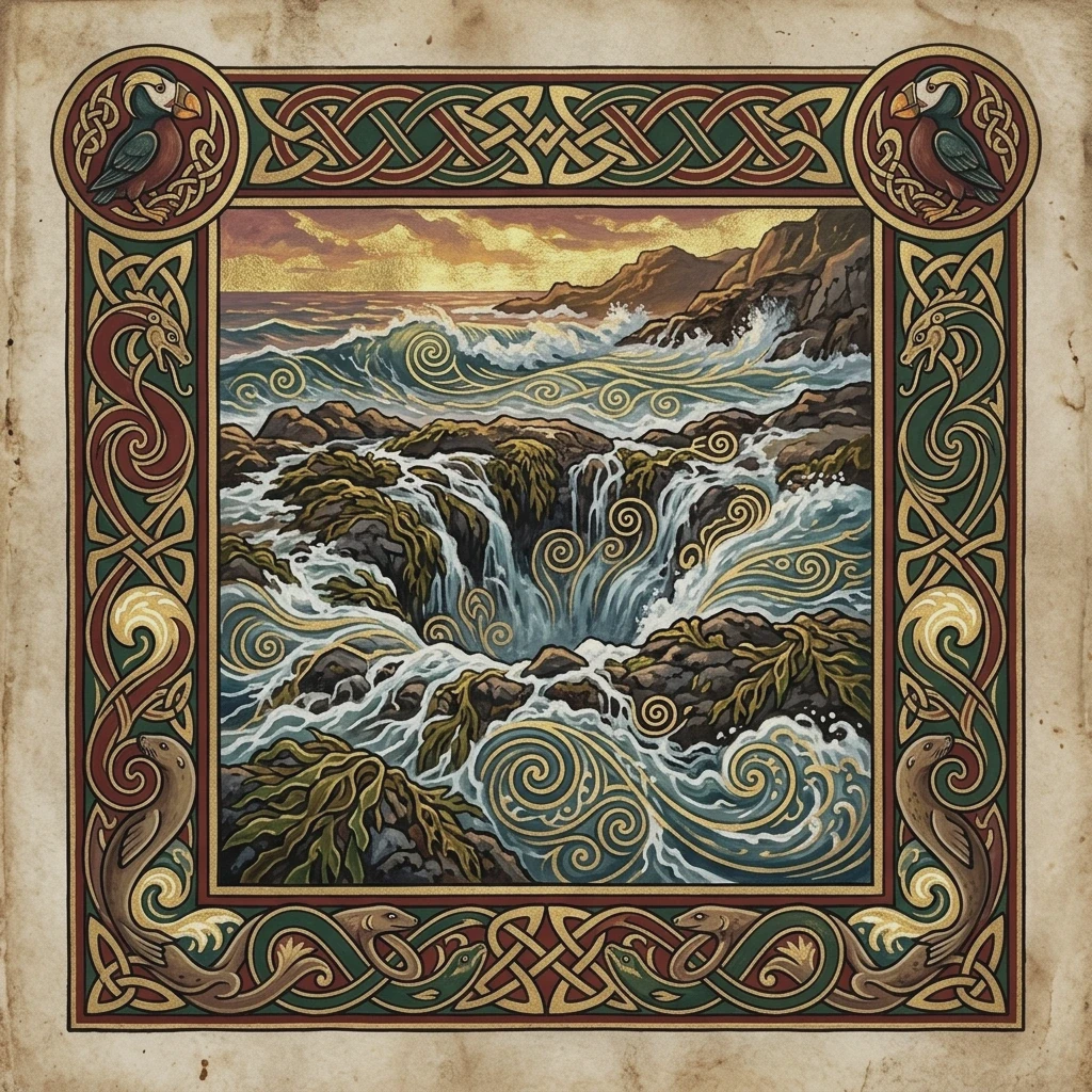
Cape Blanco Westernmost Lighthouse
sunset
Oregon • Curry County 245 FT

Cape Blanco Westernmost Lighthouse

The westernmost point in Oregon, perched 245 feet above churning Pacific reefs. Operating since 1870 with an active first-order Fresnel lens.

Local Guide Tip

High gale winds are constant here—bring a rock-solid heavy tripod and use high shutter speeds to eliminate camera shake.

Lens: 70-200mm Telephoto
Navigate
Timberline Lodge & Mount Hood Summit
blue hour
Oregon • Clackamas County 6,000 FT

Timberline Lodge & Mount Hood Summit

Hand-hewn timber and native basalt architecture built during the Great Depression. Sits at the 6,000-ft tree line under Mount Hood's 11,249-ft glaciated summit.

Local Guide Tip

Head behind the lodge toward the Silcox Hut trail at sunset for Mount Jefferson and Three Sisters alpenglow views across the southern horizon.

Lens: 70-200mm Telephoto
70mm ƒ/5.6 1/60s ISO 200
Navigate
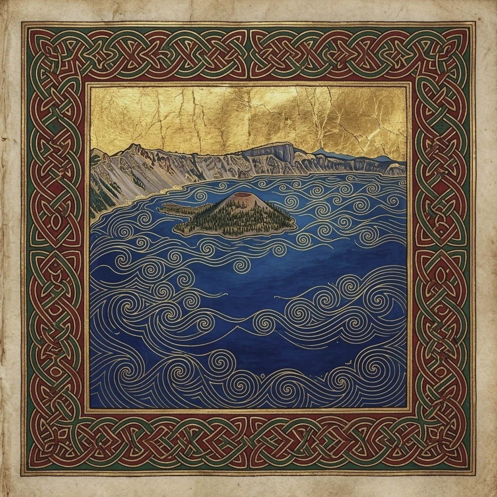
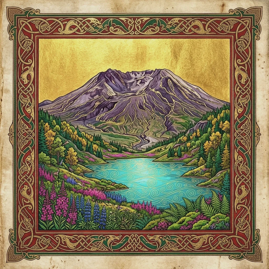
Crater Lake — Watchman Peak & Wizard Island
high sun
Oregon • Klamath County 8,013 FT

Crater Lake — Watchman Peak & Wizard Island

Formed 7,700 years ago when Mount Mazama collapsed. The deepest freshwater caldera in the United States (1,943 ft deep) with unmatched indigo blue purity.

Local Guide Tip

A circular polarizing filter is crucial here to cut surface solar glare and expose the intense sapphire depths around Wizard Island.

Lens: 24-70mm Standard
35mm ƒ/8.0 1/500s ISO 100
Navigate
Mormon Row Barn & Grand Teton Cathedral
sunrise
Wyoming • Teton County 6,450 FT

Mormon Row Barn & Grand Teton Cathedral

The historic 1913 Moulton Barn framed directly below the 13,775-foot jagged crest of Grand Teton Peak. An iconic symbol of American homestead resilience.

Local Guide Tip

Arrive 30 minutes before sunrise to claim a tripod spot. The golden alpenglow hits the highest crags first before spilling across the valley floor.

Lens: 70-200mm Telephoto
85mm ƒ/8.0 1/160s ISO 100
Navigate
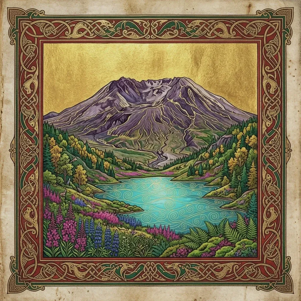
Mount Rainier — Paradise Valley Reflection
sunrise
Washington • Pierce County 5,400 FT

Mount Rainier — Paradise Valley Reflection

Glaciated 14,411-foot stratovolcano dominating the Cascadia skyline, surrounded by subalpine wildflower meadows of lupine and scarlet paintbrush.

Local Guide Tip

Shoot reflection lakes early in the morning before glacial katabatic winds start rippling the water surface.

Lens: 16-35mm Ultra-Wide
Navigate
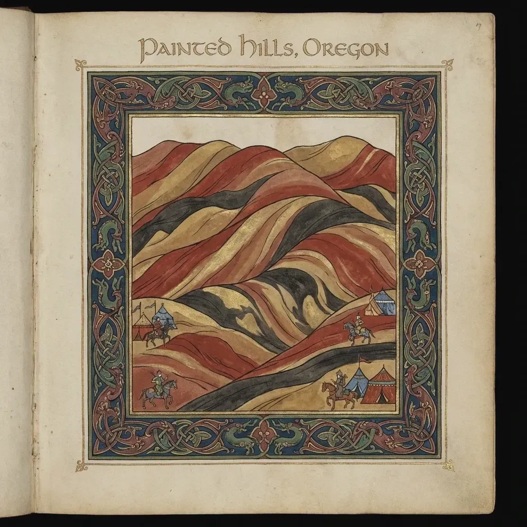
John Day Fossil Beds — Painted Hills Unit
golden hour
Oregon • Wheeler County 2,100 FT

John Day Fossil Beds — Painted Hills Unit

35 million years of volcanic ash and laterite soil strata creating vivid yellow, gold, and crimson hill bands that change hue dramatically after rain.

Local Guide Tip

Late afternoon backlighting right before sunset creates striking shadow ridges across the bentonite clay mounds.

Lens: 70-200mm Telephoto
135mm ƒ/8.0 1/200s ISO 100
Navigate
Cathedral Rock & Red Rock Crossing
golden hour
Arizona • Yavapai County 4,967 FT

Cathedral Rock & Red Rock Crossing

Majestic Schnebly Hill sandstone towers reflecting in the waters of Oak Creek. The crimson spires ignite with radiant solar heat during desert sunset.

Local Guide Tip

Wade across the shallow creek bed at Red Rock Crossing to position Cathedral Rock right between framing cottonwood branches.

Lens: 24-70mm Standard
40mm ƒ/8.0 1/125s ISO 100
Navigate
Joshua Tree & Barker Dam Milky Way
milky way_astro
California • San Bernardino County 4,300 FT

Joshua Tree & Barker Dam Milky Way

Iconic twisted Joshua Trees (Yucca brevifolia) and massive granite monzogranite boulder stacks silhouetted beneath certified Dark Sky Milky Way core bands.

Local Guide Tip

Use a red headlamp to preserve night vision and use low-level lighting (0.5% power LED) to gently illuminate the foreground tree bark.

Lens: 16-35mm F2.8 or F4 Ultra-Wide
16mm ƒ/4.0 25s ISO 3200
Navigate
Alvord Desert Playa & Steens Mountain
sunrise
Oregon • Harney County 4,000 FT

Alvord Desert Playa & Steens Mountain

A vast 12x7 mile dry alkali lake bed sitting directly beneath the sheer 5,000-foot fault-block escarpment of Steens Mountain. Complete silence and cosmic night skies.

Local Guide Tip

Drive onto the playa only when bone dry; even a trace of moisture creates impassable clay silt that traps vehicles.

Lens: 16-35mm Ultra-Wide
Navigate
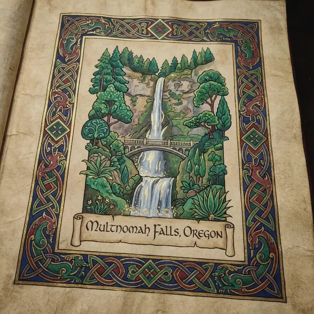
Multnomah Falls & Benson Bridge
misty morning
Oregon • Multnomah County 620 FT

Multnomah Falls & Benson Bridge

Oregon's tallest waterfall (620 ft), plunging across two basalt tiers framed by the historic 1914 Benson Bridge in the lush Columbia River Gorge.

Local Guide Tip

Shoot early on an overcast morning to eliminate harsh shadows and capture the deep emerald moss saturation on the basalt canyon walls.

Lens: 16-35mm Ultra-Wide
18mm ƒ/8.0 1/4s ISO 50
Navigate
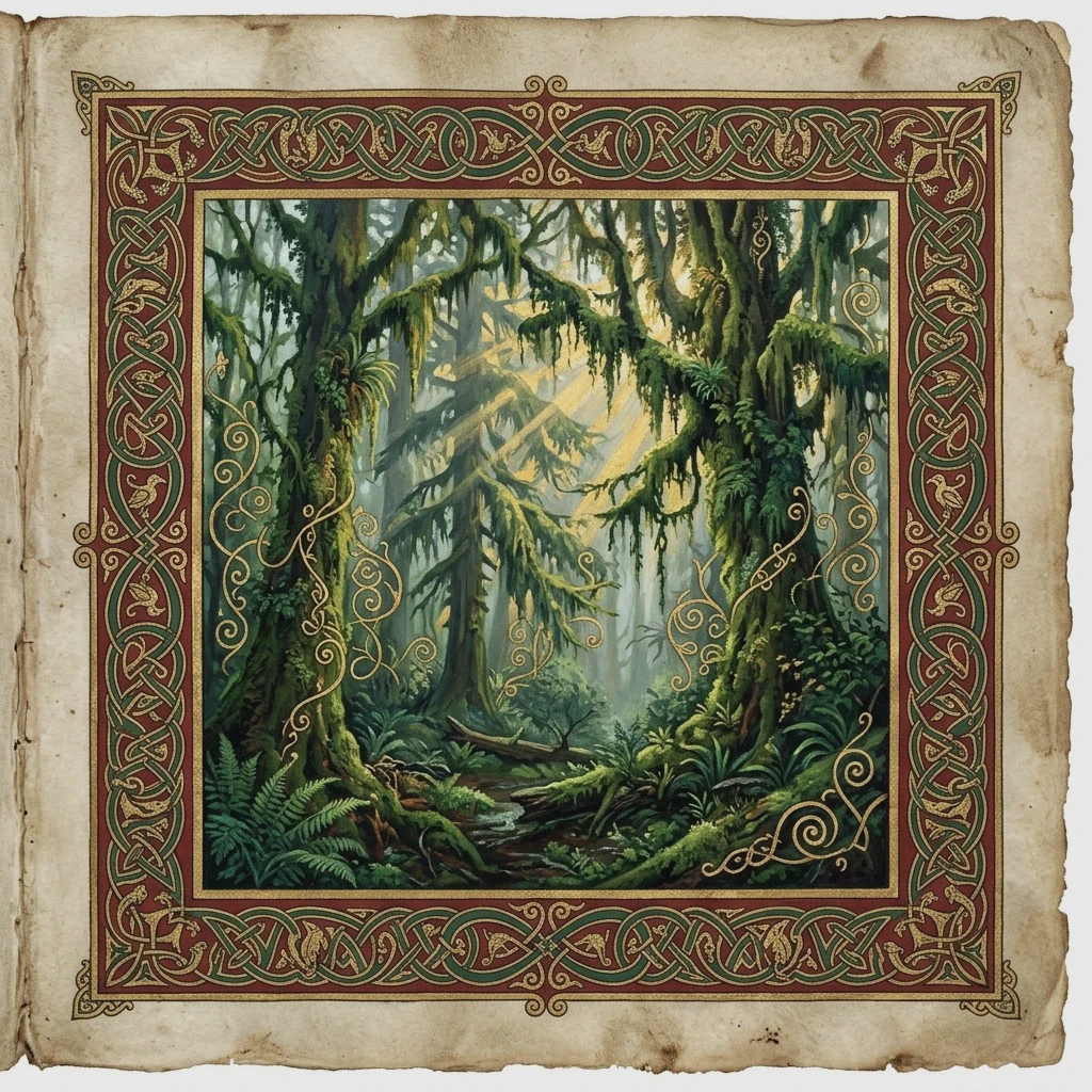
Hoh Rain Forest — Hall of Mosses
misty morning
Washington • Jefferson County 580 FT

Hoh Rain Forest — Hall of Mosses

Receiving up to 140 inches of rain annually, this primeval temperate rainforest features towering Sitka spruce and bigleaf maples blanketed in hanging club moss curtains.

Local Guide Tip

Rainy days produce the most magical photos; use a circular polarizer to eliminate wet foliage reflections and bring out vibrant neon greens.

Lens: 24-70mm Standard
Navigate
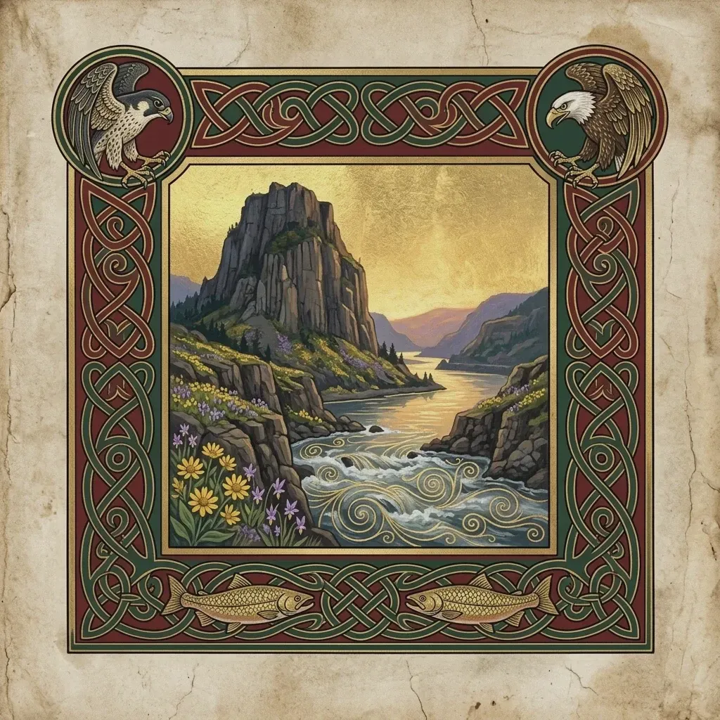
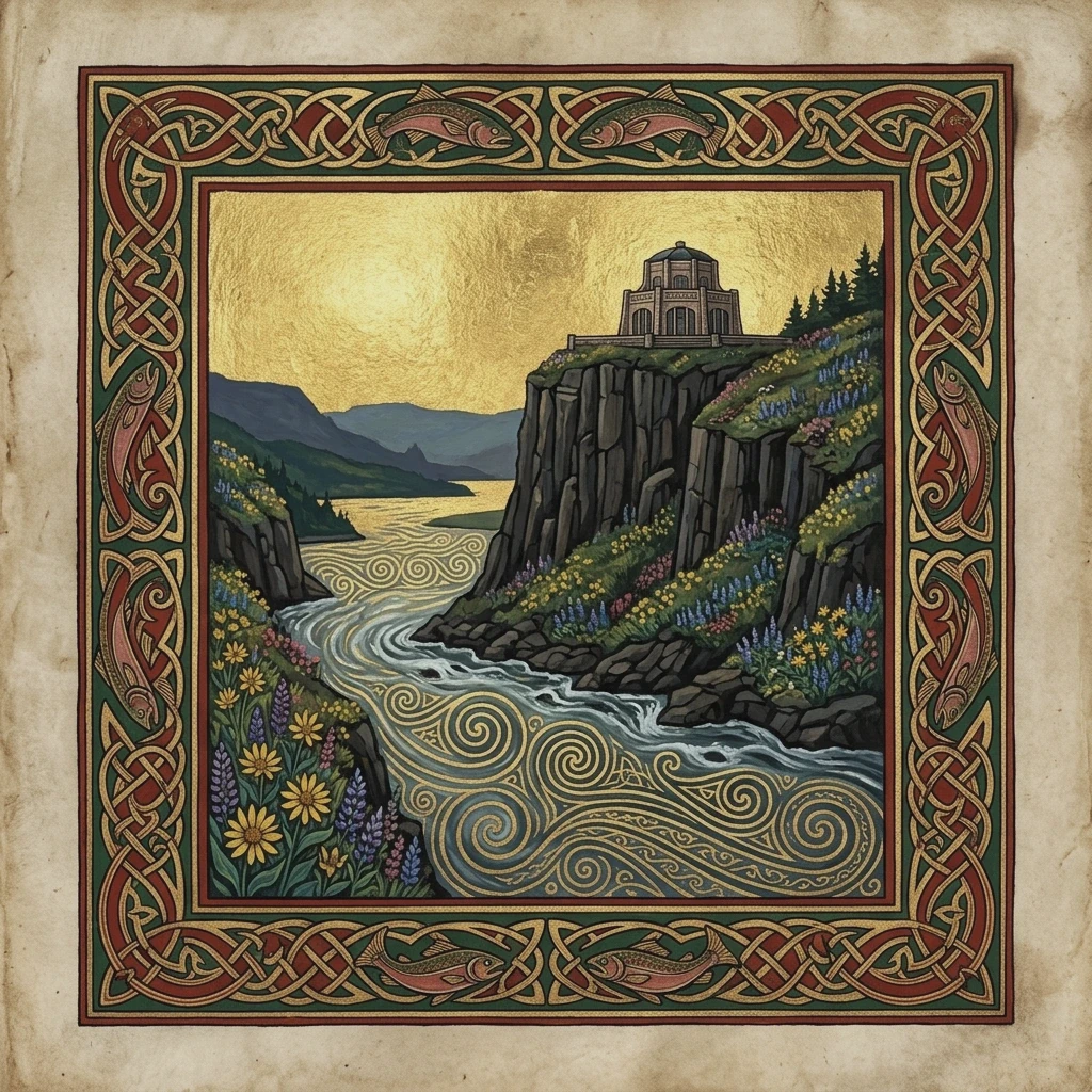
Crown Point Vista House
sunset
Oregon • Multnomah County 733 FT

Crown Point Vista House

Constructed in 1918 on an 733-foot sheer basalt cliff overlooking 30 miles of the Columbia River Gorge. Known as the 'Crown Jewel' of the Columbia River Highway.

Local Guide Tip

Sunset winds can exceed 50 mph at the cliff edge. Keep your camera strap wrapped around your wrist and weight your tripod legs.

Lens: 24-70mm Standard
50mm ƒ/5.6 1/160s ISO 100
Navigate
Route 66 — Neon Diners & Mother Road
blue hour
New Mexico • Quay County 4,091 FT

Route 66 — Neon Diners & Mother Road

The classic American road trip corridor preserved in authentic vintage neon signs, art deco motels, and wide open southwestern desert horizons.

Local Guide Tip

Shoot during civil twilight (15 minutes after sunset) when neon tube glow balances perfectly with the royal blue sky exposure.

Lens: 35mm F1.4 Prime or 24-70mm
35mm ƒ/4.0 1/60s ISO 400
Navigate
St. Johns Suspension Bridge & Cathedral Park
blue hour
Oregon • Multnomah County 205 FT

St. Johns Suspension Bridge & Cathedral Park

David B. Steinman's 1931 Gothic suspension bridge with 400-foot green cathedral towers rising over the Willamette River and Cathedral Park.

Local Guide Tip

Stand in the center arch beneath the bridge piers for the famous symmetrical Gothic church window framing effect.

Lens: 16-35mm Ultra-Wide
24mm ƒ/8.0 2.5s ISO 100
Navigate
Oregon State Capitol & Gilded Pioneer
golden hour
Oregon • Marion County 165 FT

Oregon State Capitol & Gilded Pioneer

Stripped Classical Art Deco capitol dome crowned by the 22-foot bronze gilded 'Gold Man' pioneer standing watch over Willamette Valley heritage groves.

Local Guide Tip

Visit during late March when Capitol Mall's double rows of Akebono cherry trees explode into pink blossom canopies.

Lens: 24-70mm Standard
35mm ƒ/8.0 1/400s ISO 100
Navigate

Explore Phil Gear's Complete Google Maps Archive

Discover hundreds of high-resolution field photos, architectural perspectives, and geological waypoints contributed directly to Google Maps as a verified Level 8 Local Guide.

Launch Google Maps Contributor Profile